Local Nature Recovery Strategies (LNRS) are developing a spatial plan for nature and environmental improvement that will underpin England’s emerging Nature Recovery Network.
Over the last year, Kent Wildlife Trust has been working closely with the Making Space for Nature Team within Kent County Council (KCC) to identify locations in Kent which could be key for nature recovery.
What is mapping, and how does it help nature recovery?
This exciting strategy combines scientific research, conservation data and, crucially, collaboration with people in Kent to highlight priority areas to focus on for nature recovery. These plans will be instrumental in ensuring that action and investment is directed to where it is most needed and where it will deliver the best outcomes for nature.
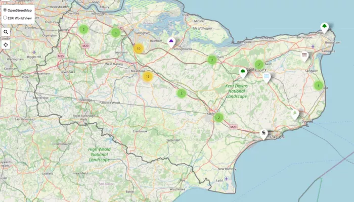
Kent Wildlife Trust’s Digital Development Team has developed two online mapping tools for the LNRS. The ’Priorities for Nature’ and ’Actions for Nature’ tools identify local people’s priorities for nature in Kent and existing conservation work. We will combine those with the modelled ‘Areas that Could be Important for Biodiversity’ (ACIB) to identify gaps and key opportunities for nature recovery work. The combination of data, evidence and collective input will create a robust wish list of priorities and actions to take.
What does this mean for nature and people?
The LNRS will allow KCC to develop targeted plans which focus restoration efforts in areas where they will result in the highest biodiversity, connectivity, social and environmental benefits.
This initiative could facilitate the reintroduction of species or boost the abundance of species that shape their environments, such as insect pollinators, otters, seagrass, native oysters and beavers. It could also help support the introduction of wilder grazing and nature-friendly farming practices and lead to improvements in habitats, clean water availability, flood reduction, carbon sequestration, and improve access to green spaces for local communities.
ACIB mapping ensures these efforts will lead to substantial additional benefits within Kent, supporting our own mission to increase wildlife abundance and climate resilience across 30% of Kent’s land and sea.
Making Space for Nature mapping workshops will be taking place throughout Kent and Medway in September. To find out more, visit makingspacefornaturekent.org.uk

