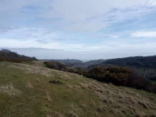
Dover Downlands Project
The Dover Downlands Project aims to increase and improve chalk downlands and associated biodiversity in the Dover area of the Kent Downs Area of Outstanding Natural Beauty (AONB).
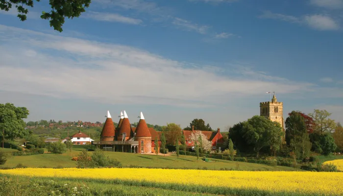
The tool is the main way data is gathered to inform county-wide reporting on the area of land in conservation management, vital to feed into Kent's Biodiversity and Environment Strategies.
There is a wealth of conservation work being undertaken by statutory bodies, charities, non-governmental organisations and others across the county but to date, there hasn’t been a comprehensive, or easily accessible, means of documenting it.
In 2017 Kent Wildlife Trust embarked upon a collaborative project with the Kent and Medway Biological Records Centre, the Environment Agency and Kent Nature Partnership to develop a map-based tool to do just that. During 2020 as part of the Nature's Sure Connected project, the tool has been updated to add extra functionality to allow it to be the main way data is gathered to inform county-wide reporting on the area of land in conservation management, vital to feed into Kent's Biodiversity and Environment Strategies, Single Data List 160 (the proportion of Local Wildlife Sites in management) and State of Nature in Kent reporting.
Kent’s Conservation Landscape Tool allows anyone to view the patchwork of projects currently underway across the county and aims to enable those delivering these projects to better understand what kindred organisations are currently working on as well as highlighting future opportunities for collaboration. It is hoped that this new resource, which will be periodically updated to reflect the inception of new projects, will assist in achieving the bigger, better, more joined-up landscape that we are all working towards.

River Eden, photo by Chloe Sadler

The Dover Downlands Project aims to increase and improve chalk downlands and associated biodiversity in the Dover area of the Kent Downs Area of Outstanding Natural Beauty (AONB).
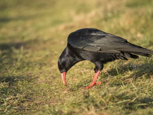
In July 2023, as a result of four decades of chalk grassland restoration, these charismatic birds are emerging from our history books and legends. They have returned to our skies, thanks to a partnership between Kent Wildlife Trust, Wildwood Trust and…
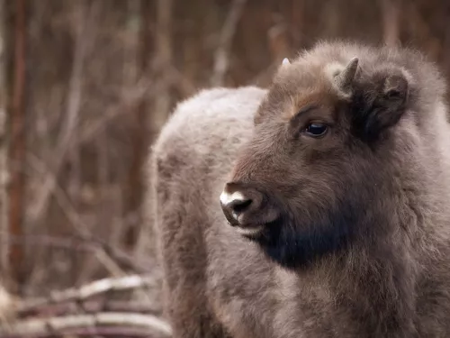
We have introduced European bison to help restore UK wildlife and tackle the climate crisis.

Between 2022 and 2024 we carried out conservation management and access improvement works across Hothfield Heathlands. The main aim of the ‘Precious Peatlands’ project was the restoration of peat bog.
We ask citizen scientists all over the country to measure insect splats on their vehicle number plates as a measure of insect abundance. In previous survey years, we have made significant strides in understanding the challenges facing our insect…
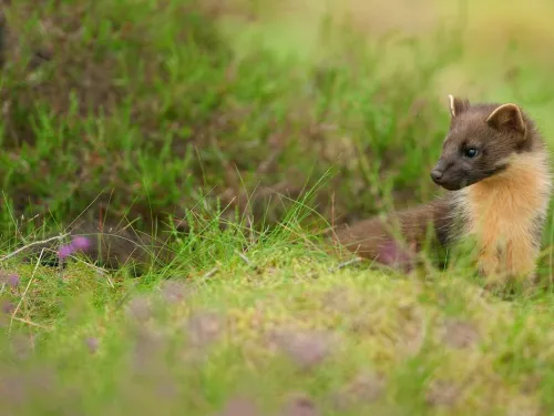
Kent Wildlife Trust and Wildwood Trust, in collaboration with Sussex Wildlife Trust, Ashdown Forest and Forestry England, are assessing the possibility of restoring pine martens to the South East.