We have provided downloadable pdfs of walking route instructions and maps for you to explore these walking routes around the Commons. You can also download them as GPX files.
The easiest way to open a GPX file and view the map data it contains is by uploading it to the web version of Google Maps. After you open and sign in to Google Maps in your web browser, you can add a GPX file as a new map by:
- Opening the Google Maps menu and selecting Your places.
- Selecting Maps → Create map.
- A new Google Maps window opens. In that window, select the Import button that appears underneath the Untitled layer.
- Upload your GPX file. The map data the file contains will appear in Google Maps.
You can also open a GPX file in a variety of desktop and mobile applications, including Strava and AllTrails.
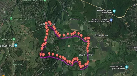
Fawke and Bitchet Commons walking route - 4 miles
Key links for Fawke and Bitchet Commons walking route
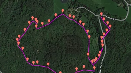
Crockham Hill Common - 2 miles
Key links for the Crockham Hill Common walk
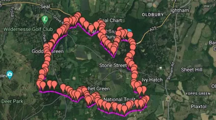
Fawke, Bitchet and Seal Chart - 8 miles
Key links for the Fawke, Bitchet and Seal Chart walk
Learn more about Greensand Commons
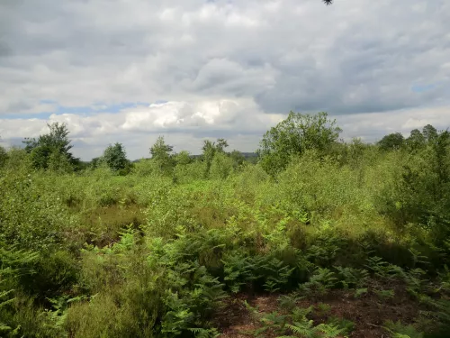
Sevenoaks Greensand Commons
Partnership working has been essential in developing the project and a wide range of partners provided input into the project to date. That support continues as we go through the ‘delivery stage’ of the project.
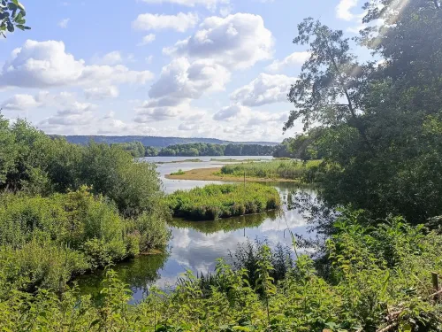
Sevenoaks Wildlife Reserve and Jeffery Harrison Visitor Centre
The Visitor Centre is temporarily closed for refurbishment and opening early 2026. This 73 hectare site was the first example of a gravel pit site being developed for the purpose of nature conservation. It is home to a diverse range of plants, fungi,…
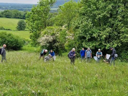
Sevenoaks Greensand Commons Project awarded National Lottery support
Sevenoaks District Council, working with Kent Wildlife Trust and other partners, has received a confirmed National Lottery grant of £483,600 for the Sevenoaks Greensand Commons heritage project, it was announced today.

